Fun trail - The Têt'hattards walk


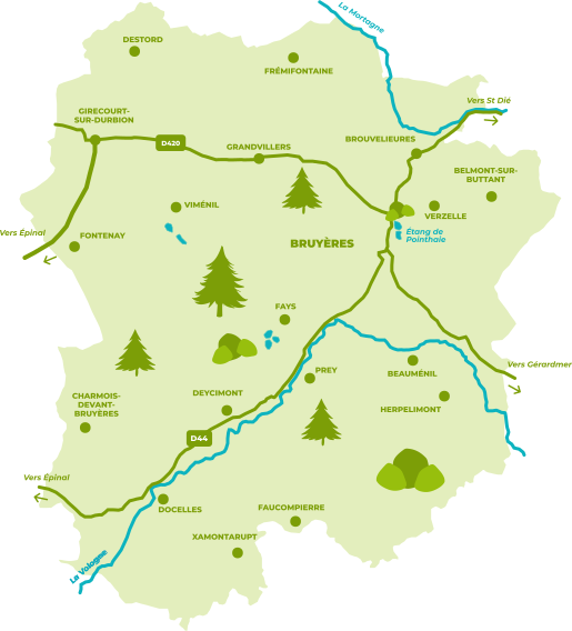
Xamontarupt is a charming commune at the foot of the Vosges mountains, in the valley of the Cuve stream. Its inhabitants, the Xamontois and Xamontoises, settled there a long time ago.
Xamontarupt would mean "Mountain near a stream". This stream takes a place in the development of the village and more particularly of the Moulin de Xamontarupt which you can discover.
The route, approximately 3 kilometers long, is punctuated by points of interest, indicated by round markers.
You set off to discover the local biodiversity and find the tree species that you will encounter. To do this, you will find in the
booklet (to download) two tables listing the physical characteristics of trees. Games, such as charades or riddles, can help you find the mystery word. Simply place the letters in the word grid at the end of the booklet.
Your goal: to find the final word and enrich your knowledge of biodiversity in the Vosges.
Description
- Difficulty of the route / circuit
- Easy
Distance (range)
Less than 5km- Course characteristics
- Endlessly
- Journey time (hh:mm)
- 01:30
- Recommended direction for the route
- Schedule
- Type of routes / circuits
- Cultural itineraries (roads...)